There Are No Road Signs
Setting off for a dot on a map across a trackless ocean with no road signposts to follow is one of the great joys of sailing.
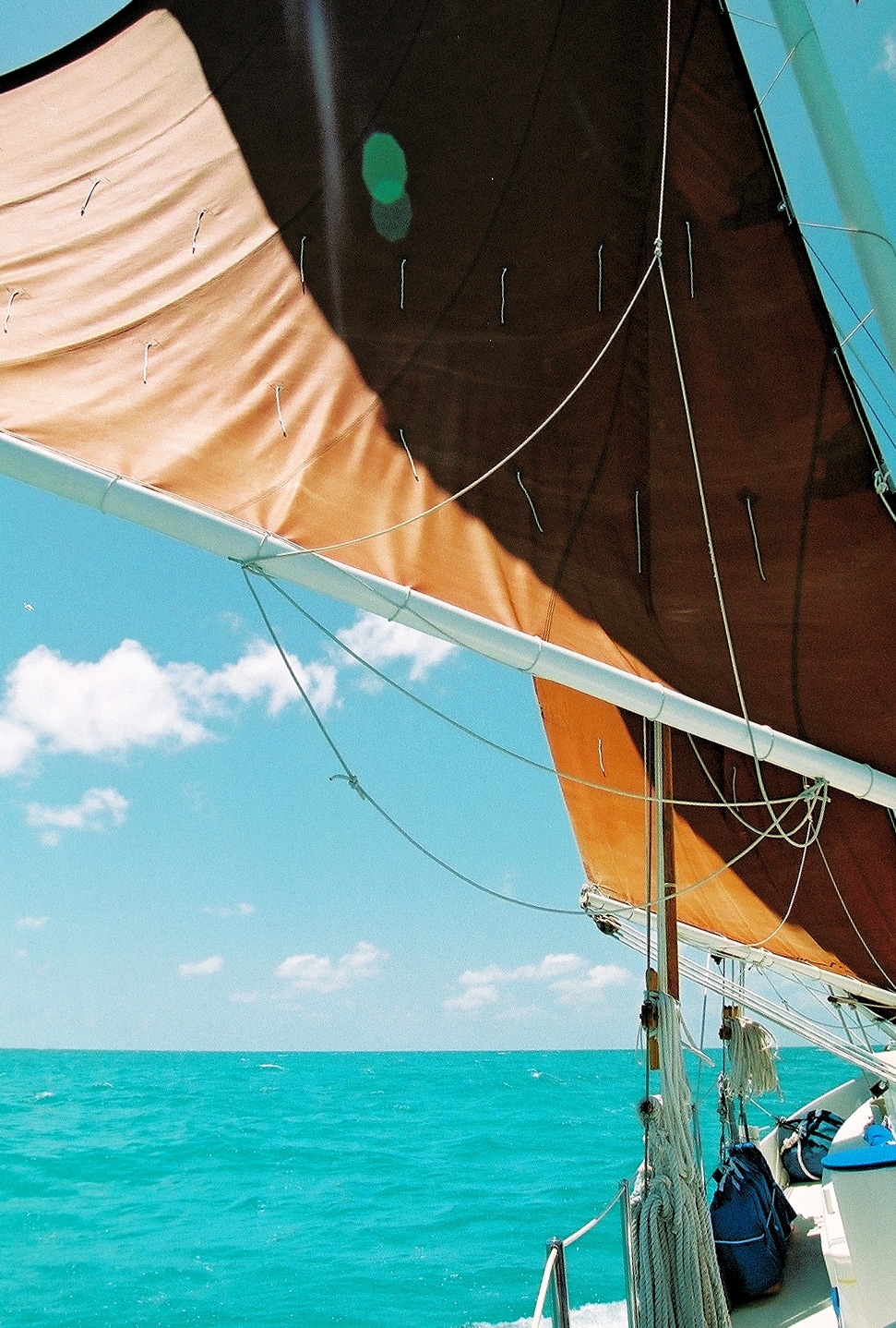
It's 8:20 PM when we sail past the Port Everglades sea buoy. I take a deep breath and fill my lungs with salt air from a freshening breeze. Behind us, traffic lights flash red and green; brightly lit condo towers stretch north and south for as far as I can see - Florida's East coast. The noise of the city; car horns, buses, a radio and the sound of the highway in the distance...actually that's all in my head. In reality the only thing I hear is the thump, thump, thump of the engine pushing us out to sea and the sound of water brushing past the hull. Ahead, the full moon has just climbed above the horizon making the sea sparkle like a jeweled carpet.
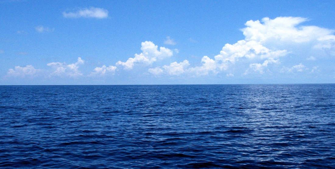
Teri and I relax into the easy motion as we take up a compass course of 90 degrees - due East. Our destination is a half mile wide by three mile long island, about 180 miles out in the Atlantic - Green Turtle Cay, Abaco, Bahamas. By 11:30, there are no lights, no condos, only a faint glow along the horizon. Over the next hour the glow fades to black, like the end of a movie. Ahead, there's only the ocean, moon and a star spangled sky; no lines in the road, signs or arrows pointing the way.
It's a leap of faith each time you set out on the ocean. The first time is the hardest. Each success grows confidence. Each landfall is a confirmation. "Plan thoroughly, trust your instruments and charts, they'll get you to your destination". That's what they teach you.
My first open ocean sailing experience was a sail from Long Beach, California to Santa Catalina Island, just over twenty-nine miles. It wasn't very far but it provided the experience of being on the ocean, out of sight of land. Teri and I chartered a boat for a four day weekend. I had studied the charts for Santa Catalina and the Channel Islands. I plotted a course, calculated the time underway and double checked everything.
It was a beautiful sunny morning with a light breeze driving us along at about four knots. I charted a course taking us into Avalon Harbour; transit time - just under eight hours. A steady breeze out of the south and a beautiful flat sea; it was a glorious sail.
After six hours, I began scanning the horizon, for the first sighting of Catalina. It's a big island and Mt. Orizaba, elevation 2,100 feet, should be easily visible at 2:00 o'clock on, a clear day from five miles. Nothing! I saw nothing! Three miles, nothing! At that point I began questioning my plotting, my navigation, the compass. Double checking everything, I realized that if we missed Catalina, on this course, the next landfall could be American Samoa.
Chanting the mantra: "Trust your instruments, trust your charts, they'll get you to your destination." I held my course. At 3:00 o'clock, like a scene from "King Kong", the mist shrouding the island lifted and we found ourselves staring up at a mountain rising out of the sea. We couldn't have been more than a mile out. Staying on course, we sailed right into Avalon Harbour. Nothing I read told me that Catalina, this time of year, is often shrouded in mist.
That was 1990. Since then, there have been many departures and many landfalls. Each departure, for a new port, is filled with anticipation and trepidation. Anticipation of a new place and new adventures. Trepidation, have I finalized all our business, said all our goodbyes, double checked all the calculations, checked all the gear, topped off the fuel, checked the oil, filled the water tanks, secured everything on deck/down-below, checked the weather, listed the way-points- where's Teri?
We have a GPS - three in fact. We have VHF and shortwave/HAM radios, a satellite telephone, radar and chart plotters on the computers. We have all the modern technological assists available to the twenty-first century sailor. Even with all of today's technological marvels, the prudent sailor depends on tried and true methods. One thing you learn, early on, is that, modern electronic technologies, as wonderful as they are, fail. And, they fail at the most inconvenient times. so, I lay out our course on paper charts and we plot our position hourly.. It is reassuring to always know where you are and your progress toward where you're going.
Making landfall in a new location is exciting. Seeing a dot on the horizon grow into an island still gives me chills. Sailing into an anchorage for the first time; bringing her head-to-wind, letting go the anchor and taking that first dive into waters you've never swum in before - there are few things more satisfying than a successful passage.
When I relate these stories to non-sailors, I often get a look that says, "Oh-My-God, how can you sail off to somewhere you can't even see, without roads, signs or anything?" The years have taught me to recognize "the look", even though the words don't escape the lips. I smile to myself and sometimes say, "You know, man has been sailing the oceans for thousands of years. Early sailors didn't have charts. And, in the overall scheme of things, the compass is a recent invention." When I really want to get a reaction, I say, "You know, Polynesian navigators, like the ones that sailed 2,600 miles from Polynesia to Hawaii, dangled their testicles in the sea to detect changes in temperature to help them stay on course." I love the look on their faces as they have visions of sharks rising to take these tasty hors d'oeuvres. I follow-up with, "With all our modern technology like GSP and chart plotters, I almost never have to do that."
It sometimes takes a while for them to realize they're having their sea-leg pulled.
Dedicated to: "Toughest Guy I Know", Jim Van Beckham: Chicago to Mackinaw Race six times, prowled the waters of the Bahamas for over fifty years and suffered a broken heart when he sold his boat the 'Doris B', this year but didn't even let that slow him down.
It's 8:20 PM when we sail past the Port Everglades sea buoy. I take a deep breath and fill my lungs with salt air from a freshening breeze. Behind us, traffic lights flash red and green; brightly lit condo towers stretch north and south for as far as I can see - Florida's East coast. The noise of the city; car horns, buses, a radio and the sound of the highway in the distance...actually that's all in my head. In reality the only thing I hear is the thump, thump, thump of the engine pushing us out to sea and the sound of water brushing past the hull. Ahead, the full moon has just climbed above the horizon making the sea sparkle like a jeweled carpet.
Teri and I relax into the easy motion as we take up a compass course of 90 degrees - due East. Our destination is a half mile wide by three mile long island, about 180 miles out in the Atlantic - Green Turtle Cay, Abaco, Bahamas. By 11:30, there are no lights, no condos, only a faint glow along the horizon. Over the next hour the glow fades to black, like the end of a movie. Ahead, there's only the ocean, moon and a star spangled sky; no lines in the road, signs or arrows pointing the way.
It's a leap of faith each time you set out on the ocean. The first time is the hardest. Each success grows confidence. Each landfall is a confirmation. "Plan thoroughly, trust your instruments and charts, they'll get you to your destination". That's what they teach you.
My first open ocean sailing experience was a sail from Long Beach, California to Santa Catalina Island, just over twenty-nine miles. It wasn't very far but it provided the experience of being on the ocean, out of sight of land. Teri and I chartered a boat for a four day weekend. I had studied the charts for Santa Catalina and the Channel Islands. I plotted a course, calculated the time underway and double checked everything.
It was a beautiful sunny morning with a light breeze driving us along at about four knots. I charted a course taking us into Avalon Harbour; transit time - just under eight hours. A steady breeze out of the south and a beautiful flat sea; it was a glorious sail.
After six hours, I began scanning the horizon, for the first sighting of Catalina. It's a big island and Mt. Orizaba, elevation 2,100 feet, should be easily visible at 2:00 o'clock on, a clear day from five miles. Nothing! I saw nothing! Three miles, nothing! At that point I began questioning my plotting, my navigation, the compass. Double checking everything, I realized that if we missed Catalina, on this course, the next landfall could be American Samoa.
Chanting the mantra: "Trust your instruments, trust your charts, they'll get you to your destination." I held my course. At 3:00 o'clock, like a scene from "King Kong", the mist shrouding the island lifted and we found ourselves staring up at a mountain rising out of the sea. We couldn't have been more than a mile out. Staying on course, we sailed right into Avalon Harbour. Nothing I read told me that Catalina, this time of year, is often shrouded in mist.
That was 1990. Since then, there have been many departures and many landfalls. Each departure, for a new port, is filled with anticipation and trepidation. Anticipation of a new place and new adventures. Trepidation, have I finalized all our business, said all our goodbyes, double checked all the calculations, checked all the gear, topped off the fuel, checked the oil, filled the water tanks, secured everything on deck/down-below, checked the weather, listed the way-points- where's Teri?
We have a GPS - three in fact. We have VHF and shortwave/HAM radios, a satellite telephone, radar and chart plotters on the computers. We have all the modern technological assists available to the twenty-first century sailor. Even with all of today's technological marvels, the prudent sailor depends on tried and true methods. One thing you learn, early on, is that, modern electronic technologies, as wonderful as they are, fail. And, they fail at the most inconvenient times. so, I lay out our course on paper charts and we plot our position hourly.. It is reassuring to always know where you are and your progress toward where you're going.
Making landfall in a new location is exciting. Seeing a dot on the horizon grow into an island still gives me chills. Sailing into an anchorage for the first time; bringing her head-to-wind, letting go the anchor and taking that first dive into waters you've never swum in before - there are few things more satisfying than a successful passage.
When I relate these stories to non-sailors, I often get a look that says, "Oh-My-God, how can you sail off to somewhere you can't even see, without roads, signs or anything?" The years have taught me to recognize "the look", even though the words don't escape the lips. I smile to myself and sometimes say, "You know, man has been sailing the oceans for thousands of years. Early sailors didn't have charts. And, in the overall scheme of things, the compass is a recent invention." When I really want to get a reaction, I say, "You know, Polynesian navigators, like the ones that sailed 2,600 miles from Polynesia to Hawaii, dangled their testicles in the sea to detect changes in temperature to help them stay on course." I love the look on their faces as they have visions of sharks rising to take these tasty hors d'oeuvres. I follow-up with, "With all our modern technology like GSP and chart plotters, I almost never have to do that."
It sometimes takes a while for them to realize they're having their sea-leg pulled.
Dedicated to: "Toughest Guy I Know", Jim Van Beckham: Chicago to Mackinaw Race six times, prowled the waters of the Bahamas for over fifty years and suffered a broken heart when he sold his boat the 'Doris B', this year but didn't even let that slow him down.